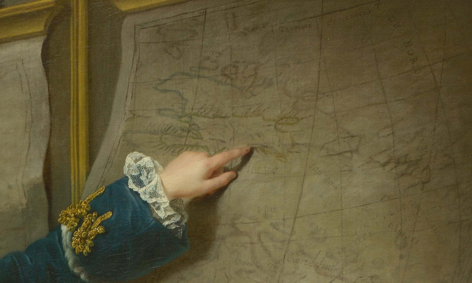
Colonial Networks is a digital decolonial research project that revolves around eighteenth-century French property maps of Haiti/Saint-Domingue. Our goal is to develop a multifaceted digital project that critically re-examines these colonial objects, repopulates them with the Black and Indigenous lives they have erased, and uses them to reveal largely unknown connections between the Paris art world and Haiti/Saint-Domingue. Colonial Networks focuses on the periods before and after the French and Haitian Revolutions (begun in 1789 and 1791).
Origins
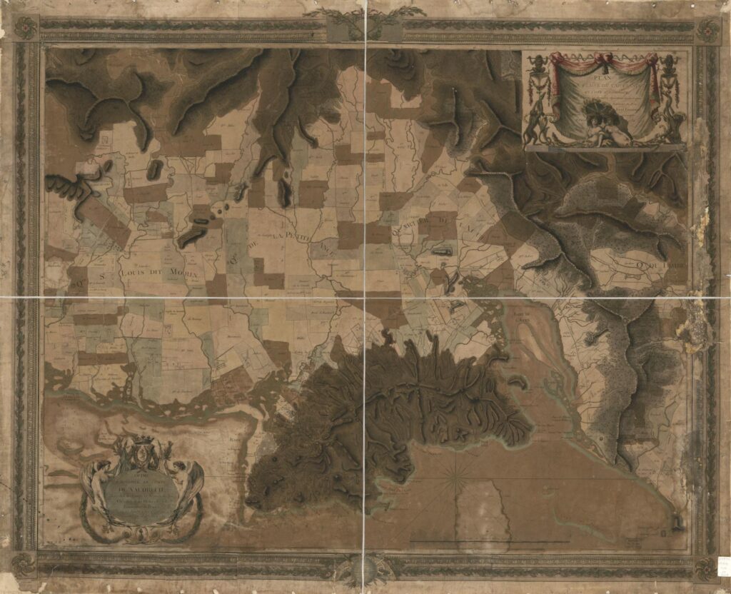
Colonial Networks emerged through encounters that the project directors had with French historical maps of Haiti/Saint-Domingue – like this 1786 property map – showing the region around the city of Cap-Français (now Cap-Haïtien). The patchwork of shapes on the map represent the boundaries of plantations, each labeled with the name of the often absentee planter who claimed to own it.
For historians of eighteenth-century French art, the names of the landowners on maps like this surprisingly read like a who’s who of the Paris art world. They reveal the many art collectors, artists, architects, and other art-world figures who directly profited from colonial commerce, resource extraction, and the violence of enslavement.
These maps have become pivotal sources in our project’s interconnected activities, which include:
- critically remapping and foregrounding Haiti/Saint-Domingue’s Black and Indigenous geographies of art, rendered almost invisible on colonial property maps
- researching the social networks and financial connections between the Paris art world and Haiti/Saint-Domingue
- collaborating with museums to consider the legacy of these histories through surviving artworks and provenance
The Project
One branch of the project, Connecting Paris and Haiti/Saint-Domingue, tracks the formation of art collections by Paris-based plantation owners, the dispersal of these artworks during the French and Haitian Revolutions, and their current location and display in major museums around the world.
Another branch, Critical Counter-Mapping Black and Indigenous Geographies, subverts the French colonial property map’s privileging of mostly absentee white landowners by highlighting the activities and resistance of Black and Indigenous inhabitants. This component of the project draws on creative data visualizations and the work of Haitian and Caribbean diasporic artists to reimagine lives, stories, and events that are not depicted in colonial sources.
Project Team
Project Directors
Meredith Martin, Professor of Art History, New York University and the Institute of Fine Arts
Hannah Williams, Reader History of Art, Queen Mary University of London
Project Technologists
Lucy Appert, Senior Director, NYU Arts and Science Office of Teaching Excellence and Innovation
Tim Schaffer, Senior Educational Technologist, NYU Arts and Science Office of Teaching Excellence and Innovation
Zhiyang Wang, Graduate Student Technologist, New York University